


The best travel routing apps make trip planning easier, faster and more enjoyable. In this article, I highlight the best of these apps that offer efficient navigation, pinpoint hidden journey gems, account for fuel costs
Track journeys, and entertain you during the long haul. I aim to provide an enjoyable travel experience with these seamless tools.
Key Points & Top Travel Routing Apps for Road Trips
- Roadtrippers — Finds quirky stops and attractions along your exact driving route easily.
- Wanderlog — Builds collaborative itineraries, organizes budgets, and structures day‑wise travel planning smoothly.
- Google Maps — Provides live navigation, real‑time traffic updates, and fastest route suggestions instantly.
- Waze — Delivers crowd‑sourced alerts for hazards, police, accidents, and sudden traffic changes.
- GasBuddy — Compares nearby fuel prices in real time to reduce long‑trip costs.
- Maps.me — Offers offline maps and detailed navigation for remote areas without connectivity.
- Polarsteps — Automatically tracks routes, logs travel progress, and shares journeys with followers visually.
- The Dyrt — Helps locate campsites, RV spots, and tent areas along road trips.
- HotelTonight — Finds discounted last‑minute hotel rooms for spontaneous overnight road trip stops.
- Spotify — Streams offline playlists, podcasts, and curated road‑trip music without mobile data.
10 Top Travel Routing Apps for Road Trips
1. Road Trippers
Road Trippers is easy to use and can help you find weird or interesting stops along your route. With over 300 thousand saved stops, Road Trippers can show you stops that other navigation systems miss.
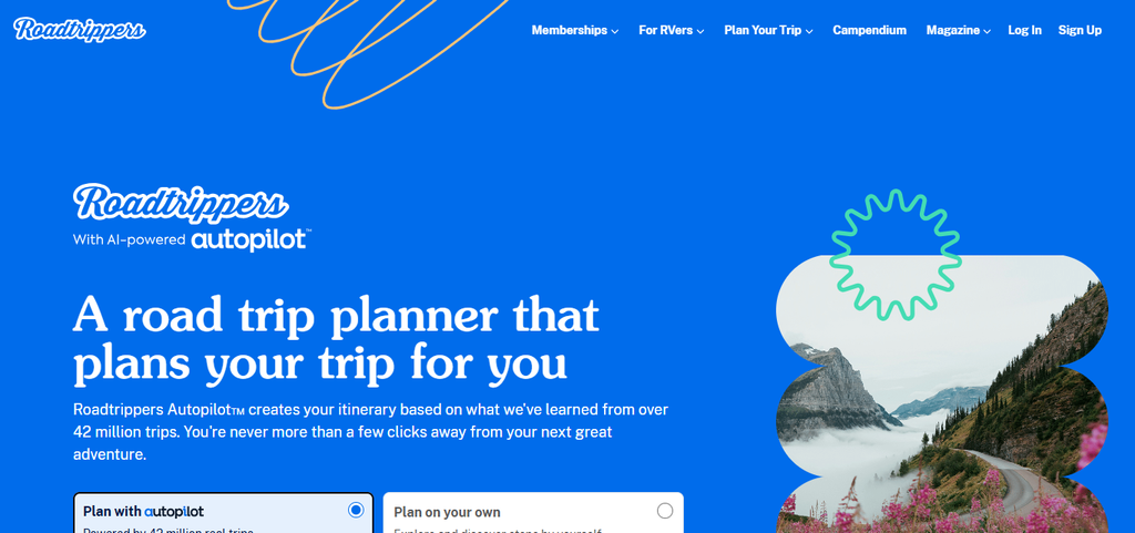
It is great for people who want to explore unexpected stops, but don’t want to lose too much time on their way to their planned stops.
Because you can be shown exactly how far a stop is from your current location on the map, you can be assured that the stops you take will be quick and get you back on track.
Roadtrippers — Pros & Cons
| Pros | Cons |
|---|---|
| Finds quirky roadside attractions easily | Some features locked behind paid plans |
| 300,000+ curated travel stops | Offline navigation limited |
| Shows exact detour distance | Can feel map‑heavy for beginners |
| Great for spontaneous road trips | Not ideal for strict, fast routing |
| Highlights unique local restaurants | Occasional slow loading in rural areas |
2. Wanderlog
Wanderlog is a system that lets you build family and friend-friendly itineraries. It has a budget planner so you know how much everything will cost. With real time sync across all devices, everyone can work on the same travel plans.
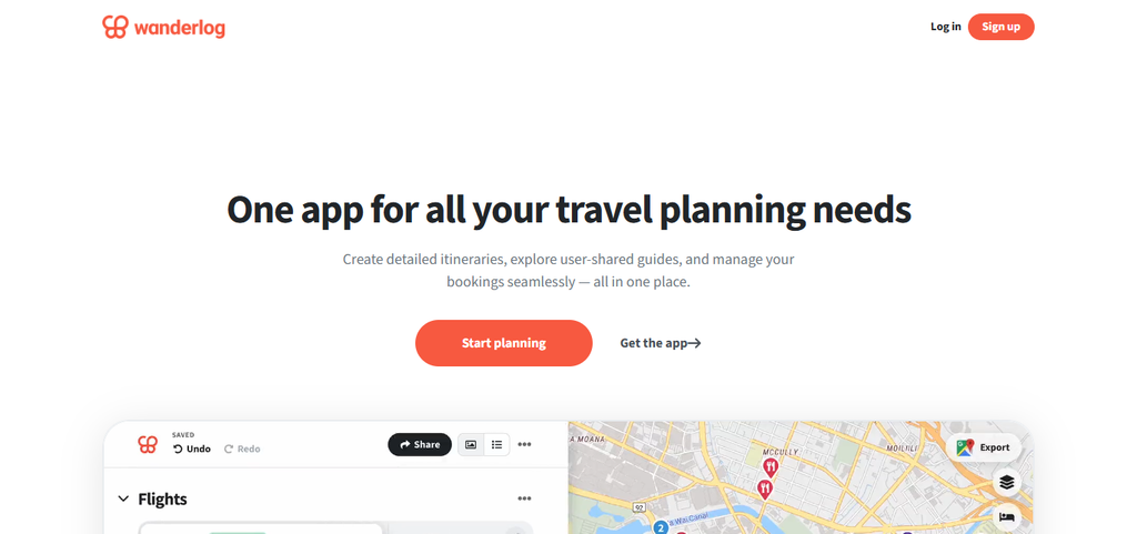
A huge time saver is that Wanderlog will import your plans from Gmail automatically. To help you plan more efficiently, Wanderlog will show you an overview of your planned travel routes on a map. Wanderlog will also help you avoid backtracking on longer trips.
Wanderlog — Pros & Cons
| Pros | Cons |
|---|---|
| Collaborative itinerary building | Offline mode still limited |
| Imports reservations from Gmail | Learning curve for new users |
| Strong budgeting tools | Mobile editing sometimes slower |
| Real‑time cloud syncing | Some features require Pro version |
| Visual route mapping | Can feel overwhelming for short trips |
3. Google Maps
Google Maps can help you get the fastest or shortest route because of the live updates. For the most accurate congestion and incident detection data, Google Maps will adjust your route depending on the one billion users of Google Maps.
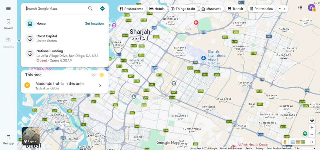
Other navigation apps don’t offer these mid-route features. Google Maps has added features like a map overview of rest stops, restaurants, and gas stations. This navigation app has everything you need for a complete road trip.
Google Maps — Pros & Cons
| Pros | Cons |
|---|---|
| Accurate turn‑by‑turn navigation | Battery‑intensive during long drives |
| Real‑time traffic updates | Offline maps require pre‑download |
| Lane guidance improves safety | Fewer scenic or quirky suggestions |
| Massive global coverage | Interface can feel cluttered |
| Integrates food, fuel, rest stops | Occasional rerouting delays |
4. Waze
Waze uses real-time reports to provide you with alerts about crash scenes, traffic jams, hazards, and police encounters. With its user-reporting system, Waze delivers updates in seconds. mid-route alerts warn users about stopped vehicles, debris, and potholes, to help you safely navigate the issue.
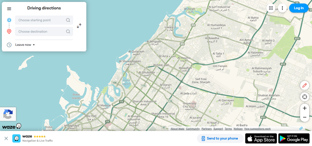
Waze is most useful for long highway trips because unexpected delays add time to the total duration of long trips. For this reason, long distance travelers prefer Waze for their long trips.
Waze — Pros & Cons
| Pros | Cons |
|---|---|
| Fast crowd‑sourced alerts | Can reroute too aggressively |
| Great for highway driving | Ads appear in interface |
| Real‑time hazard warnings | Not ideal for scenic routes |
| Strong community reporting | Requires constant data connection |
5. GasBuddy
Users of this application will appreciate the ability to locate the most affordable gasoline prices on their commute. GasBuddy’s database tracks over 150,000 North American gas stations, which are reported by users and aligned partners.
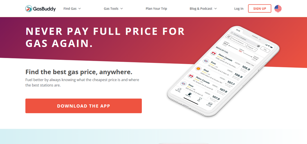
Users can reference mid-trip price statistics that highlight trends in gasoline prices and changes in the price of gasoline throughout their journey. GasBuddy also offers trip cost calculators that help travelers estimate how much gasoline they may need for their trip.
GasBuddy — Pros & Cons
| Pros | Cons |
|---|---|
| Real‑time fuel price comparison | Prices rely on user updates |
| 150,000+ stations tracked | Ads can be intrusive |
| Trip‑cost calculator included | Limited international coverage |
| Helps save money on long trips | Occasional outdated listings |
| Shows price trends along route | Requires location access always |
6. Maps.me
Maps.me provides offline navigation. Maps.me also provides detailed street, hiking and trail, navigation for use in remote areas with poor cell coverage.
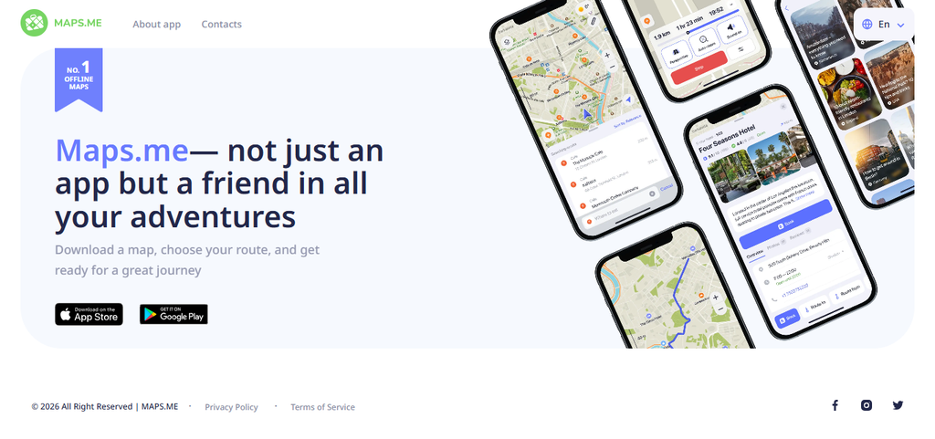
It’s one of the best comprehensive offline map applications. Maps.me has walking routes that many other navigation applications do not show. It’s a good choice for national parks road trips or travel across borders.
Maps.me — Pros & Cons
| Pros | Cons |
|---|---|
| Fully offline navigation | No real‑time traffic data |
| Detailed hiking & trail maps | Fewer POI reviews |
| Covers 345+ regions | Interface feels outdated |
| Lightweight and fast | Limited restaurant or fuel info |
| Great for remote travel | Occasional map inaccuracies |
7. Polarsteps
Polarsteps logs drives, journeys, and creates journey timelines with GPS tracking that uses only 10% of battery compared to regular tracking programs.
Journals can be updated manually, and when updated, the distance traveled, the countries traveled through, and the changes in elevation can be entered.
Polarsteps then makes your travel diary much more informative. Friends can also be added to your journey by you, and traveling stats can be published for others to see.
Polarsteps — Pros & Cons
| Pros | Cons |
|---|---|
| Auto‑tracks travel routes | Not a navigation app |
| 90% less battery usage | Requires GPS always on |
| Beautiful visual timelines | Limited offline viewing |
| Easy sharing with friends | No real‑time traffic features |
| Logs distance, elevation, countries | Not ideal for short trips |
8. The Dyrt
The Dyrt is a road trip planner that offers camping spots, places to park RVs and camp, spots to camp and more even when you don’t have a camping spot booked. It has over 50,000 campgrounds, listings with pictures, and camp reviews.
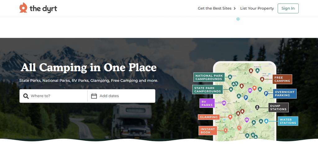
It also has mid-trip filters, like looking for camps with showers or hookups, or camping with your pet spot. It offers safe areas to stay and covers trips to remote areas, especially when you need a place to stay while traveling to a national park.
The Dyrt — Pros & Cons Table
| Pros | Cons |
|---|---|
| 50,000+ campground listings | Best features in Pro plan |
| Strong RV & tent filters | Availability varies by region |
| Great for national park trips | Limited urban relevance |
| User reviews & photos | Some listings outdated |
| Pet‑friendly & amenity filters | Interface can feel crowded |
9. HotelTonight
HotelTonight can grab you hotel bookings at last minute with big discounts. They partner with over 1,000 hotels that sell rooms at a much lower price.

An even bigger mid trip discount is “Geo-Rate Deals”. HotelTonight is really the best choice for road trips that have a lot of changes, since you can always get a great spot at a good price last minute, without needing to plan ahead.
HotelTonight — Pros & Cons
| Pros | Cons |
|---|---|
| Deep last‑minute discounts | Not ideal for advance planning |
| Geo‑Rate deals available | Limited rural options |
| Thousands of partner hotels | Prices fluctuate frequently |
| Fast booking process | Some deals sell out quickly |
| Great for spontaneous trips | Requires internet always |
10. Spotify
Spotify helps with drive time entertainment by allowing users to create, save, and then download custom playlists for offline use. Each device is allowed up to 10,000 downloaded songs via Spotify’s offline streaming service.
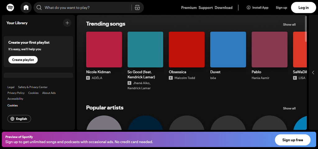
Podcasts and pre-saved playlists can also be downloaded to be used while driving, even if there is no mobile data. Spotify’s mid-trip features are also convenience and time-saving, including the crossfade function, suggestions
for road trip playlists, and personalized recommendations. Spotify also is compatible with many car systems. Thus, Spotify can be loyal and reliable with its ability to provide uninterrupted audio.
Spotify — Pros & Cons
| Pros | Cons |
|---|---|
| Offline playlists supported | Offline mode requires Premium |
| 10,000 downloads per device | Free tier has ads |
| Curated road‑trip playlists | Uses data for streaming |
| Smooth car‑system integration | Occasional app crashes |
| Personalized recommendations | Some songs unavailable regionally |
Conclusion
Conclusion: Top Travel Routing Apps Simplify the Ease of Planning, Enjoyable Navigation and Discovery on Each Trip
Travel routing apps, when equipped with a quality route planner, bring apprentice-level navigation skills to make planning less of a challenge and road trips more enjoyable. These apps manage the planning for you by navigating you to interesting places.
Real-time updates and planner support mean that a flexible road trip itinerary is always at your fingertips. Apps cover costs of fuel and book stays and, while you drive, keep you entertained.
Many apps offer smart routing, real-time updates, and support offline. At the start, middle, and end of road trips, travel routing apps can make them stress free and enjoyable.
FAQ
What is the best app for discovering roadside attractions?
Roadtrippers helps find quirky stops, scenic viewpoints, and unique roadside attractions.
Which app is best for collaborative trip planning?
Wanderlog supports shared itineraries, budgets, reservations, and real‑time group editing.
Which navigation app gives the most accurate traffic updates?
Google Maps provides precise navigation with highly reliable real‑time traffic data.
Which app offers the best crowd‑sourced driving alerts?
Waze delivers instant community‑reported alerts for hazards, police, and accidents.